| Briefing | 24th March 2015 |
| Overview |
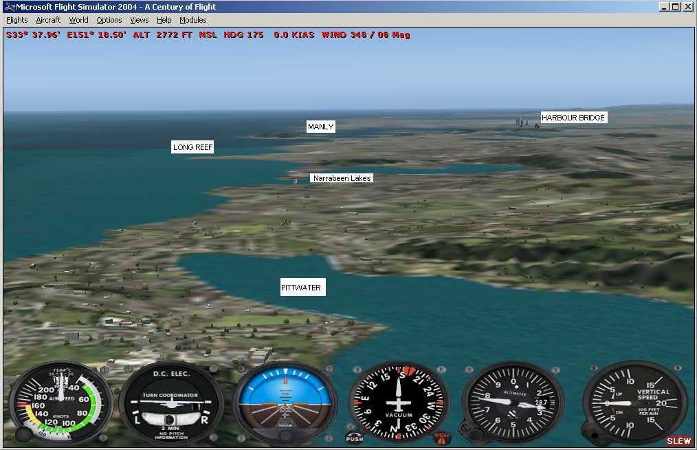
The March Event will be "Sydney Scenic" a flight around the Sydney area of Australia starting and finishing at Bankstown. David has supplied us with a copy of the comprehensive Visual Pilot Guide (VPG) Sydney Basin, which is referenced in the following briefing. |
||||||||||||||||||||||||||||||||||||||||||||||||||||||||||||||||||||||||||||||||||||||||||||||||||||||||||||||
| Start Time and Place |
The event may be flown on any day in March, however it should ideally be flown on Tuesday 24th March starting at about 1930z (1930 UK Local) to join in with other members. |
||||||||||||||||||||||||||||||||||||||||||||||||||||||||||||||||||||||||||||||||||||||||||||||||||||||||||||||
| What Aircraft can I fly |
Any aircraft can be flown in this event as long as it is within the EASA GA category. |
||||||||||||||||||||||||||||||||||||||||||||||||||||||||||||||||||||||||||||||||||||||||||||||||||||||||||||||
|
|||||||||||||||||||||||||||||||||||||||||||||||||||||||||||||||||||||||||||||||||||||||||||||||||||||||||||||||
| Plan-G | The Plan-G file for this Event can be downloaded from HERE. | ||||||||||||||||||||||||||||||||||||||||||||||||||||||||||||||||||||||||||||||||||||||||||||||||||||||||||||||
| Radio Discipline |
Take care not to let our Teamspeak chat cut across ATC. Stop any conversation immediately the R/T comes alive, then continue if "he wasn't talking to us". This is difficult because when transmitting on Teamspeak you can't hear the R/T. So be brief on Teamspeak, and be aware that ATC might be trying to get through. If anyone hears an R/T message which seems to be being ignored, just say "ATC is calling G-CIXN" if you have identified the callsign, or "ATC is calling us" which is a cue for everyone to be quiet on Teamspeak until ATC call again (which they will). Remember too that if asked to "Stand By" by ATC, you do not reply - not even "Roger", but simply wait until you are called again. Remember also that there are several different ATC frequencies in use, and you may not be able to hear when communications are taking place. Make sure you have set and know how to use a Teamspeak mute switch. |
||||||||||||||||||||||||||||||||||||||||||||||||||||||||||||||||||||||||||||||||||||||||||||||||||||||||||||||
| Acknowledgements | Event planning: David Buderim Briefing: David Buderim / Tony Driver. |
||||||||||||||||||||||||||||||||||||||||||||||||||||||||||||||||||||||||||||||||||||||||||||||||||||||||||||||
| |
|
Version 1.0 - 17:00 ZULU 08/03/15 |